Nature Park Community
Landl
Municipal Authority of Landl
Kirchenlandl 64, A-8931 Landl
+43 (0) 3633 2201
gde@landl.gv.at
www.landl.gv.at
Area: 255.71 km2
Population: 2.877 inhabitants
Economy/leading companies: local shopping centre including tourism businesses and retail; car trade and garages, furniture trade and joineries (Aster company), forestry and sawmill industry (Austrian Federal Forests and Klausbauer Holzindustrie Ges.m.b.H. & Co KG) and various craft industry enterprises (Sulzbacher, Elektro Müllner, Hirtenlehner GesmbH und Co KG)
History:
-
Landl district
The first documentary reference to the construction of the St. Bartholomä church dates back to 1273, while “Länttlein” as a settlement was first mentioned 1422. Looking back in history, the early settlements were shaped by agriculture, forestry and, due to the adjoining Styrian Erzberg mine, on hammer mills and charcoal burning. A series of stunning buildings such as the Radstatthof in Mooslandl, the granary, the Nikolaus church, the Kohlwaage in Großreifling and the remains of the Gasteiger Holzfangrechen (“wooden rake”) recall the charcoal industry. -
Gams district
Gams was first mentioned as “Gemze” in 1139. The name, most likely of Slavic origin, means “rocky region”. Colonised by the Admont Abbey, Gams was mainly populated by Bavarian settlers until the 14th century. In the late 19th century, the main character of the village was pioneer speleologist Franz Kraus who opened the Kraus Cave to the public. The cave was later named after him. -
Palfau district
The settlement was first mentioned as Palfawe in 1280. However, Palfau gained more recent historic significance due to its location on the Iron Road. Although the customs and toll station had originally been located in Mendling on the Styrian-Austrian border, it was later moved to Palfau where tolls were levied until the 1880s.
Geography:
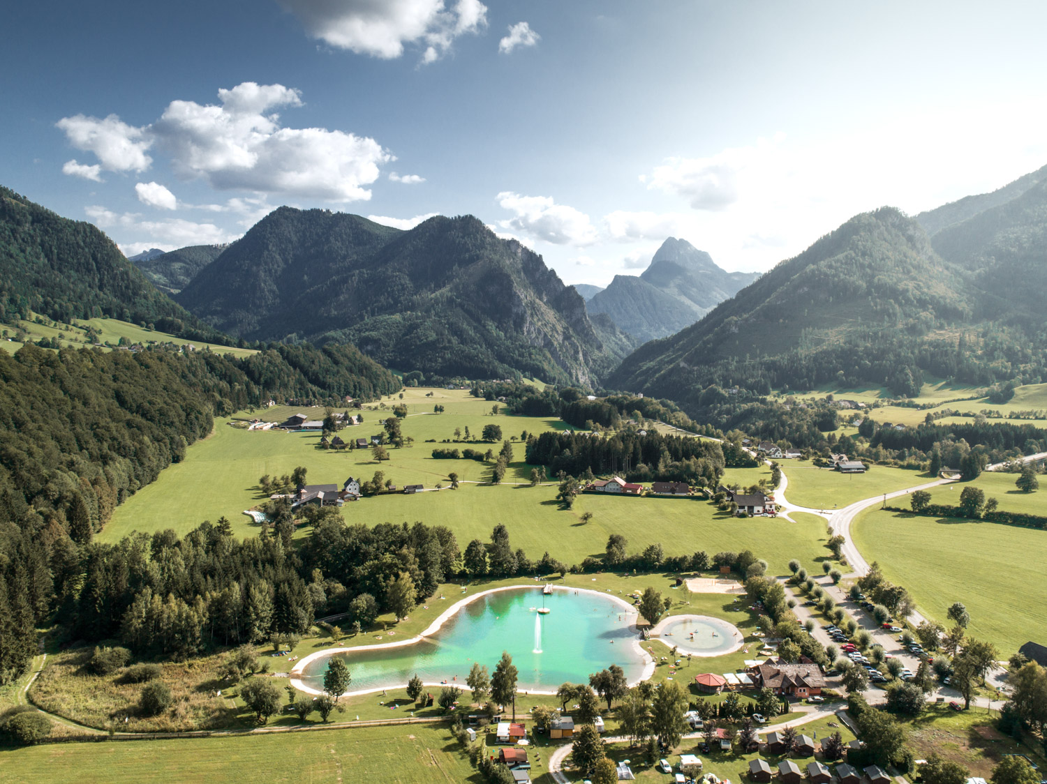
Gams, Hieflau (which is not part of the Geopark) and Palfau were merged with the municipality of Landl in early 2015. The newly minted community is situated by the Enns river in the heart of the Eisenerz Alps, Gesäuse and Hochschwab mountain massifs and it also touches the Ybbstal Alps in the north. The inhabited districts are marked by a landscape of alternating forests and hilly meadows on the one hand, and terraces located along the Enns and Salza rivers on the other. The Salza joins the Enns river on municipal territory.
What makes this Nature Park community so special?
During the summer, the outdoor swimming pools in Landl and Gams are very popular, as are white-water sports like rafting and kayaking along the Salza and Enns rivers. Aside from that, guests are welcome to use tennis courts, football pitches, circular hiking trails and alpine paths, cycle paths and mountain bike trails. In case of bad weather or for those interested in culture and geology, the Austrian Forest Museum Silvanum and Geovillage Gams open their doors to visitors, and we also invite you to visit the GeoPfad path, the Noth Gorge and the Kraus Cave. Other popular things to see and do include the Wasserloch Gorge and Eschau’s high ropes course. Or, why not pay Palfau’s Naturfreundehütte a visit conquering the peak of the Gamsstein (1774 m) mountain? Winter visitors will find less activity in the villages, but there are options for skiers and ice-skaters. Last but not least, we recommend a trip to the nearby Hochkar ski area in Göstling/Ybbs (Lower Austria).


